Find out where the crews are cutting this month.
A monthly list of active cutblocks in your territory, with the harvesters and forwarders working each one counted by type.
- GSD
- ≤0.5 m (VHR)
- Cadence
- Monthly
- Platform
- VHR satellite / aerial
- Spectral
- RGB
How you find the active crews now
You cover a region, and the contractors in it move. Your account list says who bought a harvester three years ago. The harvest plans and permits say who might cut somewhere this year. Neither tells you who has a crew in a block right now, and that is the week you want to be on the phone.
So you do what the job has always asked. You drive the haul roads. You ask at the mill. You call the contractor you know and he tells you he's busy, which is not a count. A dealer mentions that a crew moved across the river. By the time you hear that a new operation has started, a competitor's rep may already have parked a demo machine in the landing.
The cost is unglamorous. A swing through the territory that hits three idle yards and one crew that is cutting. A second machine pitch that goes to the contractor who already bought. A call list in the CRM that is part memory and part rumor, and nobody can say which part.
Fresh cuts and the landings beside them show up in imagery. This offer reads a monthly image pass for that: which blocks look to be worked, and what machines can be seen on them.
What arrives each month
The service is at an invitation stage. What follows is what early-access members would shape with us, not a finished product.
2.1CSV or GIS layer
Active-cutblock list
One row per block showing fresh cutting in the month's pass, with its location and the date it was first seen. It is meant to load next to your own contractor records in the CRM or on the territory map.
2.2Per block
Machine count by type
Harvesters and forwarders counted on each block and on its landing, typed by how the machine looks from above. Counts are what is visible in the pass, so a machine parked under standing trees is not in it.
2.3One view
Regional rollup
Every active operation the pass picks up across the territory you sell into, so you can plan the month's route from one map instead of from notes.
How it works
3.1Name the territory
You send the region you sell into, as a boundary or a list of counties, districts or forest units.
3.2A monthly image pass
Very high resolution imagery of that region is collected each month, from satellite or aerial sources, whatever is clearest.
3.3Blocks and landings found
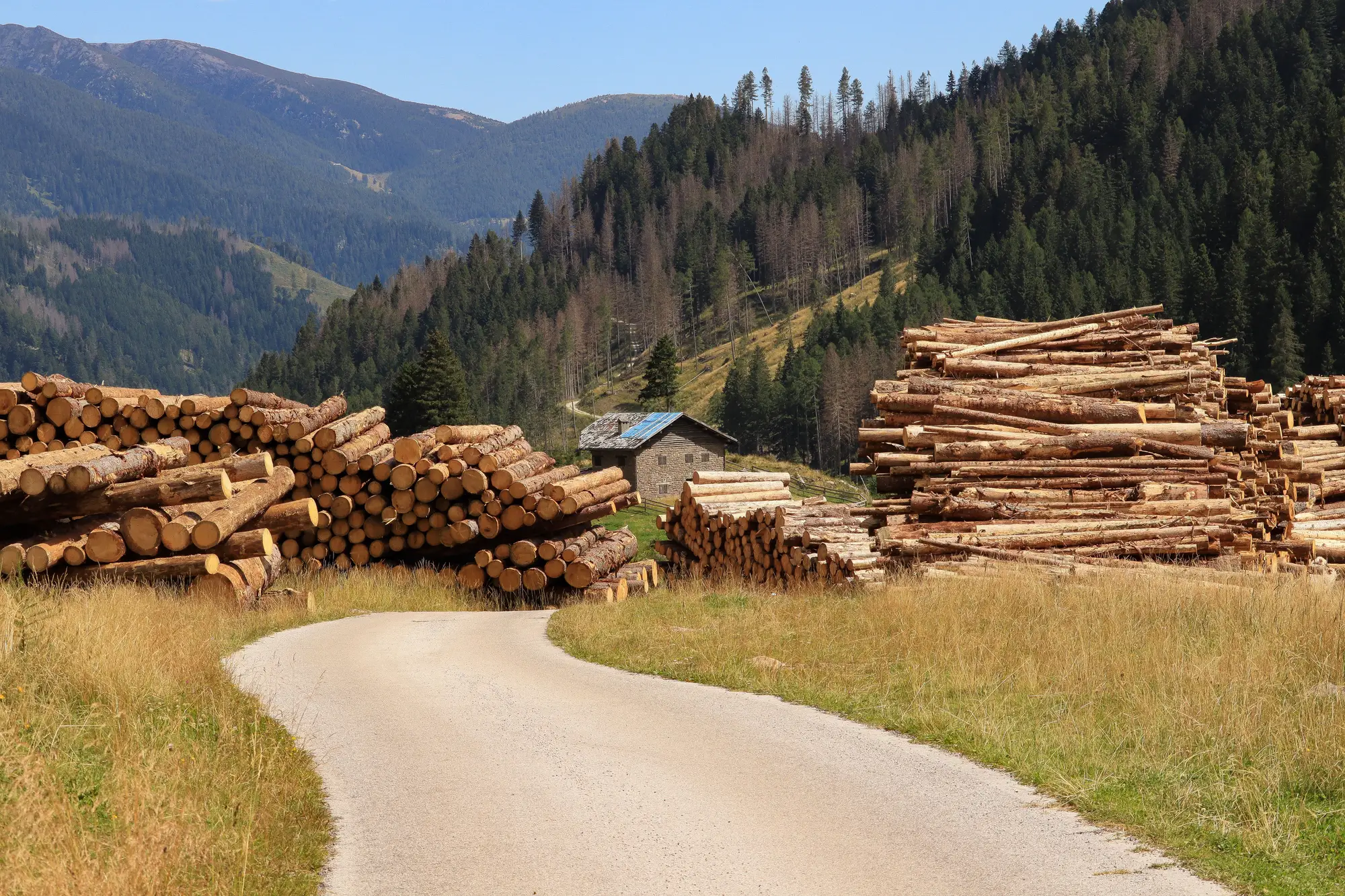
Fresh cut blocks and roadside landings are detected in the pass. The machines on them are counted and typed as harvester or forwarder.
3.4The list comes back
You get the month's active-cutblock list with machine counts, and the regional rollup. Early-access members help decide which columns matter and how the list should land in their CRM.
Limits
L1Canopy hides machines
The signal is the fresh cut and the landing beside it. A machine working under standing timber at the edge of a block may not be seen at all.
L2Snow and cloud
Snow cover can mask a fresh cut and delay when an operation first shows. Cloud on the pass date can push a block into the next month.
L3Monthly, not live
The list reflects the month's pass. A crew that started after the pass, or finished before it, is in a different month's list.
L4Typing can be wrong
Harvester and forwarder are told apart by their shape from above. Smaller machines, partly hidden machines and unusual models can be typed wrongly, and a count is a count of what was visible, not a fleet inventory.
L5No names
The list says where and how many. It does not say whose machines they are. Looking up the landowner or contractor is still your job, and it is the part you already know how to do.
L6Resolution
The imagery is 0.5 m or finer per pixel. Large machines can be picked out at that scale. Small gear such as a pickup will not be separated out, and a count is of what could be seen.
Who it's for
- Territory and regional sales reps at forestry equipment makers and dealers who plan their swing through a region from the list of crews that are cutting.
- Sales managers who want the same monthly view of the region that their reps are working from.
Who it's not for
- Teams that must know which contractor owns the machines on a block. The page shows activity and location only.
- Teams that want a live feed or daily alerts. This is a monthly pass.
- Forest managers or regulators checking harvest compliance. This counts machines, it does not audit cutting against a plan.
- Teams that want every machine on every block counted. Under canopy and in snow, some will be missed.
Questions from sales teams
Does it tell me which contractor is working a block?
No. It reports the block and the machines on it. You match that to a contractor with your own records, the landowner or the mill.
What if the trees hide the machines?
The detectable signal is the fresh cut and the landing next to it. Machines deep under standing canopy may not be counted, so a count is a floor.
How current is a monthly list?
It is aligned to the month's image pass. It is not a live feed, and a block can start or finish between passes.
Does it work in winter?
Snow can obscure a fresh cut and delay the month it first appears. Expect gaps in snow-covered regions.
Can it reliably tell a harvester from a forwarder?
It types machines by how they look from above. Smaller or partly hidden units may be put in the wrong class, so treat the type split as an indication.
How would it fit our CRM and territory map?
The list is meant to open as a CSV or a GIS layer alongside your own contractor records. What columns you need and how they should line up is something early-access members settle with us.
Who owns the data and what about imagery rights?
Terms for the delivered lists are written into the agreement before anything starts. The imagery sources keep their own licences.
How is it priced?
Early access is scoped per territory and quoted in writing. There is no price on this page because the offer is not productised yet.